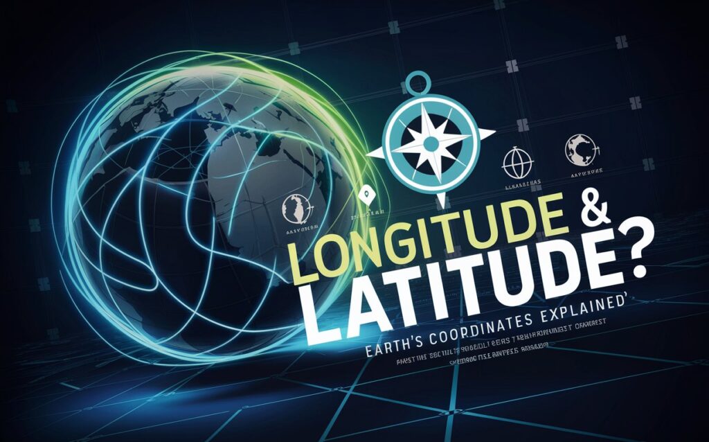
🧭 What is Longitude and Latitude? Understanding Earth’s Coordinate System in 2025
Ever used Google Maps, GPS navigation, or tracked a flight across the globe? Then you’ve relied on longitude and latitude, Earth’s coordinate system that helps us pinpoint exact locations anywhere on the planet. 🌍📍
In 2025, these invisible lines are the backbone of navigation, geolocation apps, aviation, military operations, and climate science. But what exactly are longitude and latitude, and why do they matter so much today?
🌐 The Basics: What Are Longitude and Latitude?
- Latitude measures how far north or south a location is from the Equator (0° latitude).
- Longitude measures how far east or west a location is from the Prime Meridian (0° longitude), which passes through Greenwich, London.
These two sets of imaginary lines form a grid system across Earth, and every point on the surface can be identified with a set of coordinates like 28.6139° N, 77.2090° E (New Delhi, India).
🧭 How Latitude Works
Latitudes are horizontal lines, running parallel to the Equator.
Key facts about latitude:
- Measured in degrees (°) from 0° (Equator) to 90° (North Pole or South Pole).
- The Tropics are defined by latitude:
- Tropic of Cancer: 23.5° N
- Tropic of Capricorn: 23.5° S
- Latitude influences climate and daylight — the closer to the equator, the warmer and more consistent the sunlight year-round.
🧭 How Longitude Works
Longitudes are vertical lines, called meridians, that converge at the poles.
Key facts about longitude:
- Measured from the Prime Meridian (0°) up to 180° east or west.
- The International Date Line (IDL) lies near 180° longitude.
- Longitude determines time zones — every 15° equals 1 hour of time difference.
🛰️ How GPS Uses Longitude and Latitude in 2025
Modern GPS systems rely on triangulation from satellites that calculate your location using longitude and latitude. In 2025:
- India’s NavIC satellite system gives sub-meter level accuracy in real time.
- Smartwatches, delivery drones, autonomous vehicles, and ride-hailing apps use geocoordinates every second.
- Even disaster management, like predicting floods or earthquakes, relies on mapping longitude-latitude zones.
📱 Everyday Use of Longitude & Latitude
In daily life, longitude and latitude are everywhere:
- Google Maps: Helps you find cafés, hospitals, or directions using GPS coordinates.
- Weather Apps: Fetch accurate forecasts based on your latitude-longitude location.
- Flight Tracking: Pilots navigate air routes using latitude and longitude markers in airspace.
- Property Registries: Land records in 2025 use geo-tagging for accuracy.
🧪 Scientific Importance in 2025
Latitude and longitude are essential in:
- Climate research: Tracking global warming and ice cap melting by latitude zones.
- Marine biology: Studying fish migration routes by ocean coordinates.
- Astronomy: Observing sky objects based on observer’s latitude.
- Agriculture: Using precision farming tools linked to geolocation for crop management.
📏 How Coordinates Are Measured
Coordinates are measured in:
- Degrees (°)
- Minutes (′)
- Seconds (″)
Example:
Latitude: 19°04′00″ N
Longitude: 72°52′00″ E (Mumbai, India)
Decimal format is more common in tech tools:
📍 Mumbai: 19.0667° N, 72.8667° E
✅ Conclusion
Longitude and latitude form the invisible digital grid that powers the connected world of 2025. Whether you’re navigating, farming, flying, or studying climate change — you’re relying on these timeless geographic coordinates. 🌍🛰️📍
DoFollow External Links
- https://surveyofindia.gov.in
- https://www.noaa.gov/education/resource-collections/earth-science/latitude-and-longitude
Internal Links


Post Comment