
Cloud shape results from how air moves and mixes at different altitudes. When air rises, it cools. If it cools to its dew point, the water vapor condenses into droplets or ice, forming a cloud.
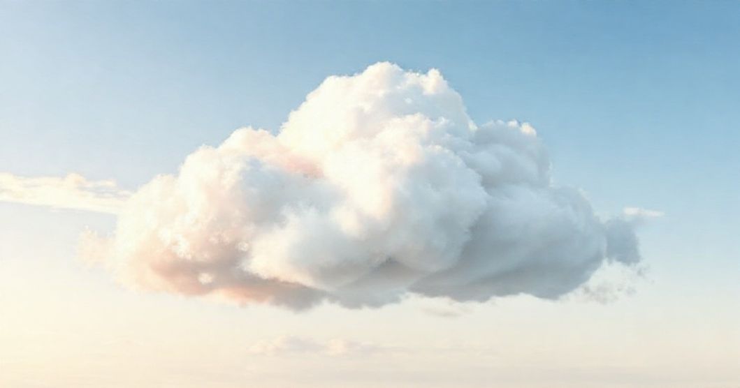
If the bulge is light and diffuse, such as when warm air slides over cold air, flat and layered stratus clouds form. If the uplift is strong and localised, e.
g. When wind pushes air over a hill, it results in a puffy cumulus cloud.
If this process occurs more difficultly and at higher altitudes, huge cumulonimbus clouds are formed. The stability of the atmosphere controls vertical growth.
In stable air, the lifted parcel begins to sink back down, but in unstable air, the lifted parcel continues to rise and hence clouds form overhead. Wind shear can stretch or flatten clouds. Steady, smooth winds over mountains can create smooth lenticular lenses.
Layers of air sliding over each other can create wavy Kelvin–Helmholtz curls. The high humidity promotes thick, dark clouds and the dry air causes the edges to fray. The tiny droplets form smooth, milky layers.
The mixed droplets and snow create more structure. At very high, cold levels, ice crystals develop into fibrous cirrus clouds.